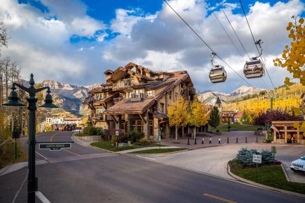
We’ll be so bold to say that there aren’t many towns anywhere in the world with such easy access to such high-caliber hiking as Telluride, Colorado. And with The 100 Collection and our local partner Curate Telluride, you’ll find the ideal home-away-from-home in this fabled retreat within the glorious San Juan Mountains for experiencing that absolutely top-grade outdoor recreation firsthand.
Read on for seven of the very best hikes in Telluride, arranged in no particular order and encompassing everything from easy rambles to physically demanding—and unforgettable—alpine adventures.
1. Bear Creek Trail
Photo Credit: @photosbylauragreen
- Length: 4.5 miles
- Elevation Gain: ~1,100 feet
- Difficulty Level: Easy
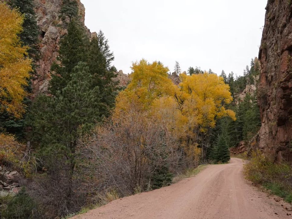
The Bear Creek Trail is one of Telluride’s most popular hikes, and it’s not hard to see why. Walkable from town (though the trailhead does have some parking), it proceeds up a lovely, mountain-walled glen within the 325-acre Bear Creek Preserve to the upper and lower falls on Bear Creek. Plentiful aspens within the gorge of Bear Creek ensure an especially gorgeous viewshed come the fall.
The San Miguel Conservation Foundation saved this part of Bear Creek Canyon from development back in the mid-1990s and donated the resulting Bear Creek Reserve to the town and its citizenry.
2. Lizard Head Trail
- Length: 7.6 miles
- Elevation Gain: ~1,900 feet
- Difficulty Level: Challenging
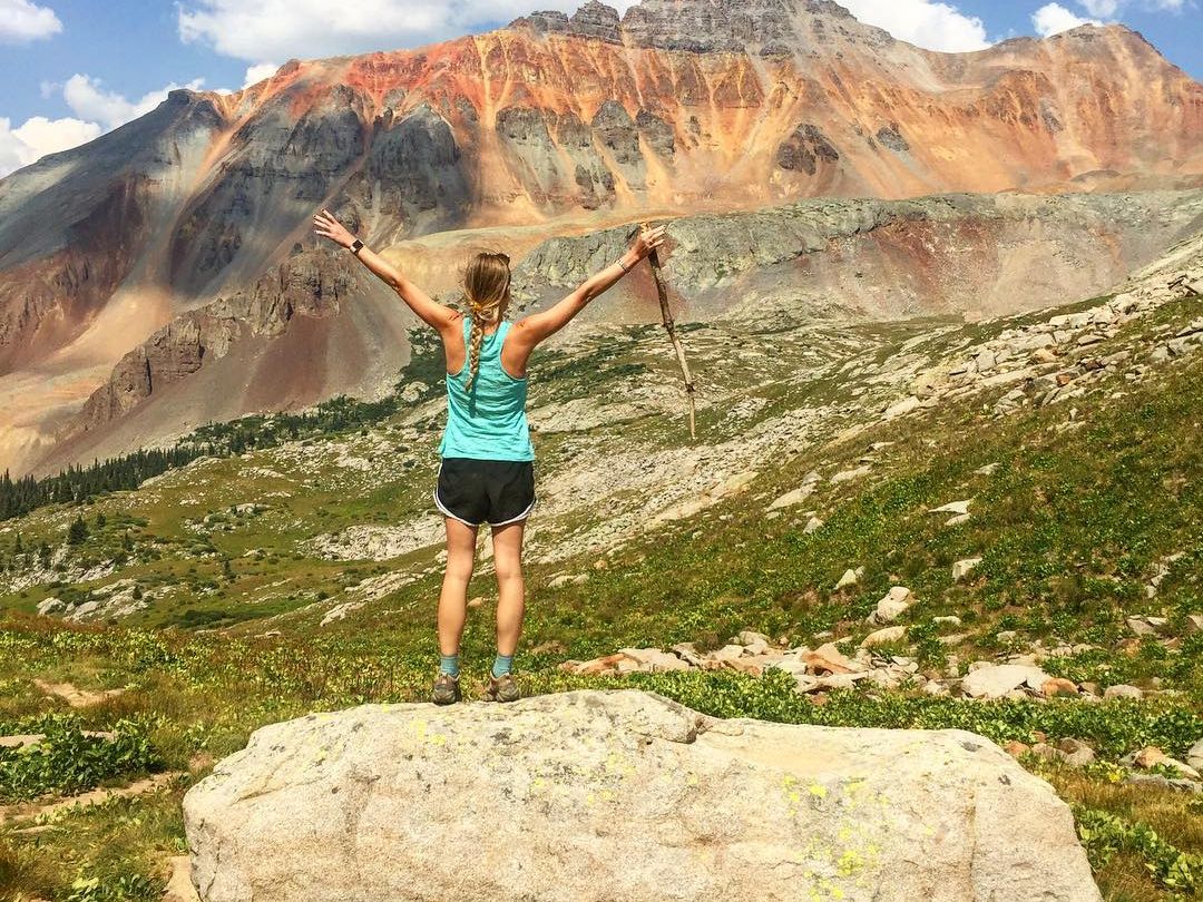
The almost otherworldly-looking volcanic spire of 13,113-foot Lizard Head Peak creates one of the most singular and spectacular eminences in the San Juan Mountains. Situated in the northwesterly San Juan subrange of the San Miguels—and within the 41,496-acre Lizard Head Wilderness, where the West Fork of the Dolores River rises—Lizard Head is widely regarded as one of the toughest and riskiest climbs in Colorado. Fortunately, you don’t need to attempt the 500-foot tower itself to bask in its splendor.
The Lizard Head Trail proceeds from the parking lot at Lizard Head Pass and ascends to the panoramic ridgecrest of Black Face Mountain, where the iconic view of Lizard Head comes enhanced by plenty of other peaks, including such Fourteeners as Mount Wilson (14,264 feet), El Diente (14,159 feet), and Wilson Peak (14,017 feet), plus Sunshine Mountain presiding over Wilson Meadows and the unmistakable, jagged profile of the Sneffels Range.
You can extend your hike via the Cross Mountain Trail, which brings you closer to Lizard Head Peak.
3. Bridal Veil Falls Trail
Photo Credit: @herbertblanco
- Length: 2.4 miles
- Elevation Gain: 860 feet
- Difficulty Level: Moderate
Spearheaded by the Telluride Mountain Club in cooperation with the Town of Telluride and other local partners, the Bridal Veil Falls Trail offers an alternative, hikers-only route to the namesake waterfall, foot access to which formerly was via a busy jeep road shared with vehicles and mountain bikers. Trailhead parking is available at the Idarado Mine settling ponds.
At 365 feet, Bridal Veil Falls is Colorado’s tallest free-plunging waterfall, and a spectacular sight year-round, though winter visits should be attempted with great caution. (The waterfall is popular among ice-climbers in that season.) Bridal Veil Creek, by the way, is one of the headwater streams of the San Miguel River, an important tributary of the Dolores.
The multi-channeled whitewater drop is the main attraction, of course, but there’s another notable landmark above its brink: a 1907-built power plant, which originally served the Smuggler’s Union Mine and is on the National Register of Historic Places.
4. Jud Wiebe Memorial Trail
Photo Credit: @jordan_apodaca
- Length: 3.1 miles
- Elevation Gain: 1,213 feet
- Difficulty Level: Moderate
Super-easy to access from town via Aspen Street or Tomboy Road, this loop is named for a forest ranger who’d conceived of creating it from a historical unmaintained track, but unfortunately didn’t live to see the trail completed. Climbing steeply into the foothills north of Telluride, the Jud Wiebe Memorial Trail serves up plenty of sweeping views out over the community and up to the Telluride Ski Resort and such skyline peaks as Mount Ballard and Mount Wasatch. Benches at a couple of viewpoints provide a breather and a chance to drink in that sublime scenery.
The southerly aspect of the mountain flanks this trail circuits along means the route typically offers a long hiking season, with winter treks (undertaken with proper gear) often doable.
5. San Miguel River Trail
Photo Credit: @telluridetails
- Length: 7.6 miles
- Elevation Gain: 610 feet
- Difficulty Level: Easy
There aren’t many better ways to work your way through the Town of Telluride than via a stroll on the San Miguel River Trail, that’s for sure! This pleasant footpath, shaded by ponderosa pines, spruces, and aspens, traces the San Miguel’s flow through town, and offers multiple street access points (and parking options, including the free spaces at the Shandoka Public Parking Lot).
The San Miguel River Trail also links up with other routes, including the Idarado Legacy Trail, Valley Floor Trail, and Boomerang Trail, and it can be used as a springboard for the gondola running up to Mountain Village as well as Telluride attractions such as Town Park.
6. Sneffels Highline Trail
Photo Credit: @dabbsdabbs
- Length: 14.3 miles
- Elevation Gain: 3,986 feet
- Difficulty Level: Challenging
Not only one of best hikes in Telluride but also among the crown-jewel Colorado adventures, the Sneffels Highline Trail takes you up into the expansive, spectacularly beautiful alpine realm of the Sneffels Range in the town’s backcountry hinterland. This is no walk in the park, mind you: It’s a strenuous dayhike involving a whole lot of elevation gain and topping out in the thin air above 12,000 feet. You’ll spend extended time above timberline, which means you need to be very mindful of the weather forecast and time your hike to be descending before the threat of afternoon thunderstorms: You don’t want to be in the wide-open heights amid lightning!
But the rewards are big-time, from the wildflower-spangled, peak-fortressed Pack and Mill Creek basins to views that sweep out to the San Miguel Range.
It’s best to park in town and walk up to the trailhead, which is the start of the Jud Wiebe Memorial Trail we covered above. You’ll hike a short way on that trail as well as the Deep Creek Trail to hit the Sneffels Highline Trail, which makes a demanding yet glorious loop into the Mount Sneffels Wilderness.
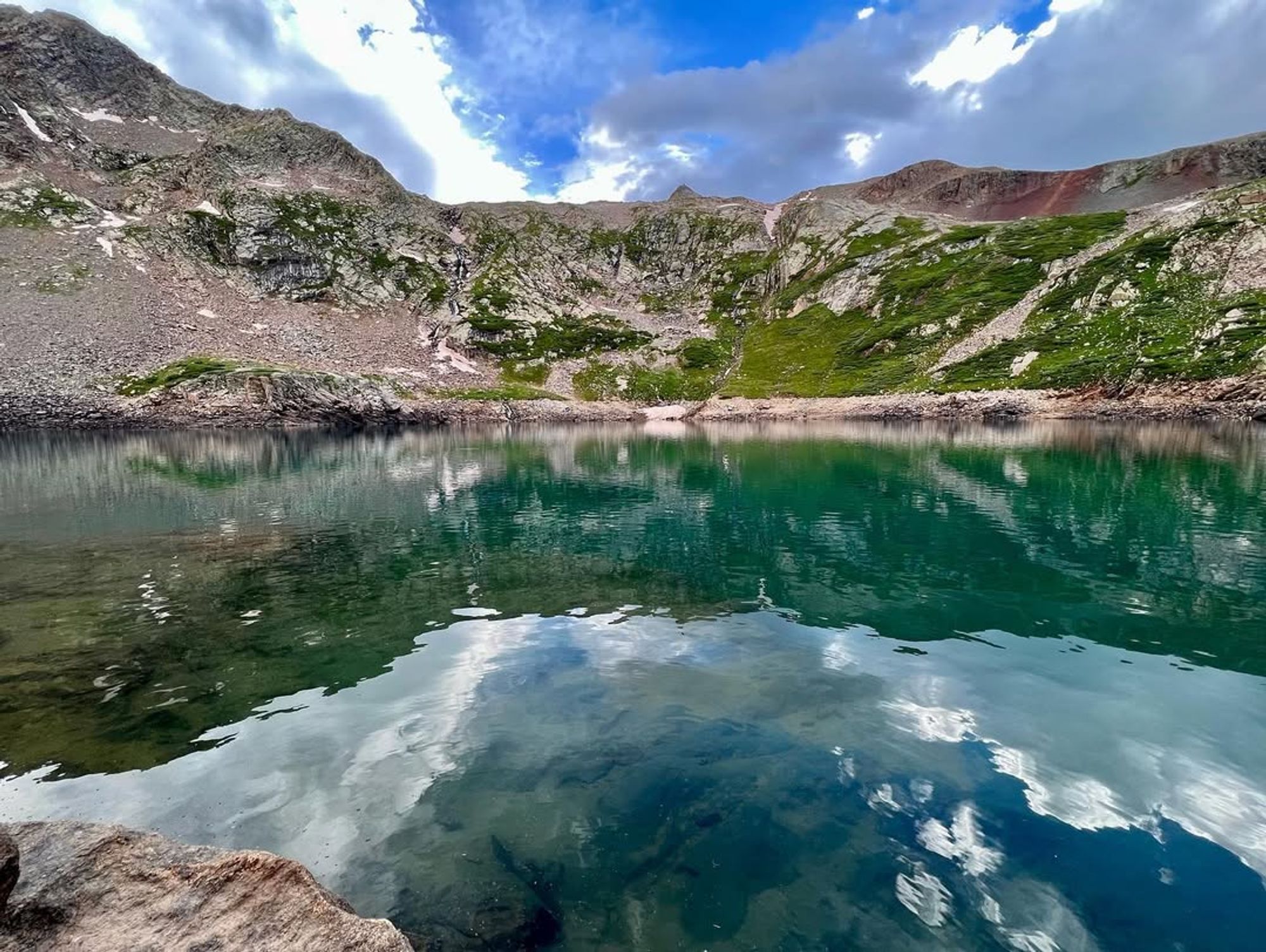
7. Hope Lake Trail
- Length: 6 miles
- Elevation Gain: 1,515 feet
- Difficulty Level: Moderate
Stunning Lake Hope—as the waterbody’s officially named on the map, though it’s the “Hope Lake Trail”—makes a fitting end to this list of Telluride trails. Access the trailhead in Poverty Gulch via the somewhat rough Forest Road #627 (a high-clearance vehicle is helpful); there’s parking at the trailhead, plus a nearby overflow pullout.
You’ll climb through subalpine spruce-fir forest and then break into high meadows with splendid sightlines, including to the colorful crown of 13,900-foot Vermilion Peak. Watched over by San Miguel Peak, vaguely heart-shaped Lake Hope provides a major payoff to the switchbacks involved. (The trail continues a bit under a mile beyond the lake to the boundary between the Uncompahgre and San Juan national forests and then intersects another Forest Road, but this is mainly an out-and-back.)
Get an early start on this hike so you can be back down below timberline ahead of afternoon thunderstorms, and bear in mind this is another popular trail: If you can, try it midweek for a less-crowded experience.
Take Advantage of Telluride’s World-Class Hiking on a 100 Collection-Curated Getaway
From ski-in/ski-out chalets to grand rustic-luxe lodges, Curate Telluride’s outstanding vacation-rental inventory gives you a lot of varied options for a hiking base camp in one of the American West’s premier mountain towns. Explore it today!